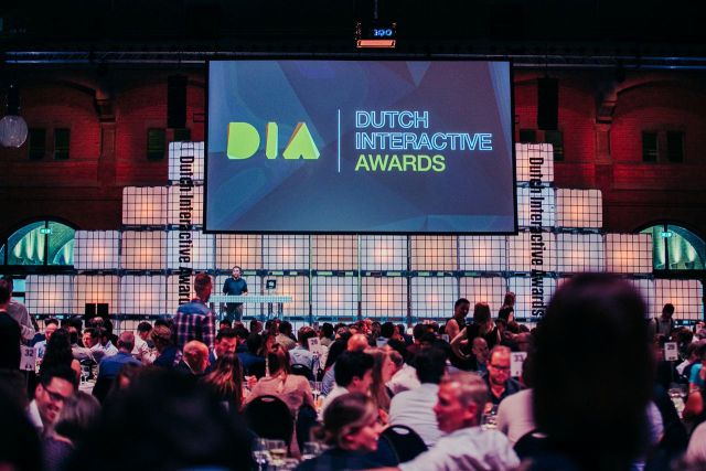
Waterschap Noorderzijlvest, Sigbar in Groningen and Tygron geo-data specialist in The Hague have received a silver award for their app in which they apply augmented reality to geographical maps. The prize was unveiled on Thursday evening June 27 at a festive meeting in Amsterdam at the Dutch Interactive Awards, the annual event of Emerce where the most innovative, original, smart-tech solutions in the Netherlands are announced. The app earned the prize in the "best new interface" category.
New techniques for an increasingly pressing subject
The climate is changing. Periods of long drought are interspersed with heavy rainfall. Waterschap Noorderzijlvest is making considerable efforts in various ways to cope with these changing circumstances. The award-winning app in the field of geographical maps is a good example of this.
Climate program
For the climate program, the water board commissioned Sigbar to create an interactive app where maps with geographic information could come to life. In order to better start up and deepen the discussion about that data, Sigbar developed the app. By mixing the digital world with the 'real' world (via augmented reality), the heat stress and drought maps are literally pushed up to height. How? You launch the app on your smartphone and project the phone onto the printed geographical map. A city will then appear in 3D where you will see height differences, wet spots and water levels. This appeals to the imagination and initiates more dialogue with, for example, municipalities.
